Regional Highlights and Natural Landscapes
Egypt spans Mediterranean shores to deep desert silence. These travel guides describe the natural character of each region so you can prepare for the conditions you will actually meet.
Coastal north: humid, 20–32°C. Desert interior: arid, 5–45°C depending on season and elevation.
Eight distinct zones from Mediterranean humidity to the dry silence of the interior. Each carries its own climate, terrain, and atmosphere.
A Land of Geographical Diversity
Egypt is a land of vast geographical diversity, offering everything from Mediterranean coasts to the deep silence of the Sahara. This guide provides a broad overview of the different regions you might encounter, focusing on their natural characteristics and the atmosphere they offer. By understanding the distinct personality of each area, you can better prepare for the specific environmental conditions you will face.
Our egypt travelling guides aim to highlight the beauty of these spaces through a descriptive lens. No official place names, no schedules — just the terrain, the climate, and the feeling of being there. For any traveller into Egypt, knowing what each zone looks and feels like is the first step in preparing well.
The Northern Coastal Strip
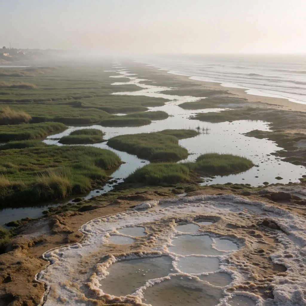
The northern edge of the country is defined by its proximity to the Mediterranean Sea, offering a climate that is notably cooler and more humid than the interior. The landscape is dotted with salt lakes and fertile plains that have supported agriculture for centuries.
The air here carries a saltiness that provides relief during the summer months, making it a popular area for those seeking a break from the heat. The architecture often reflects a blend of various Mediterranean influences, seen in the older coastal settlements.
The Fertile Nile Valley
Flowing like a green ribbon through the desert, the valley is the lifeblood of the region. This area is characterized by lush palm groves, green fields, and a high density of traditional villages. The contrast between the fertile banks and the high desert cliffs that frame the valley is one of the most striking visual experiences in the country.
Life here revolves around the rhythm of the water, and the traditional sailing vessels provide a glimpse into a way of life that has remained unchanged for generations. For a traveller into Egypt, the valley is where the country's agricultural heartbeat is most visible — a narrow strip of intense green framed by dry stone on both sides.
The Eastern Desert and Red Sea Coast
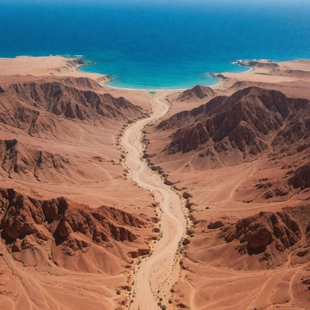
The land between the river and the eastern coast is a rugged terrain of volcanic mountains and winding valleys. As you reach the coast, the landscape transforms into a marine environment known for its clear turquoise waters and coral systems. The wind here can be quite strong, a welcome feature for those engaging in water-based activities.
The silence of the mountains provides a stark contrast to the lively underwater world just a few meters from the shore.
The Great Western Oases
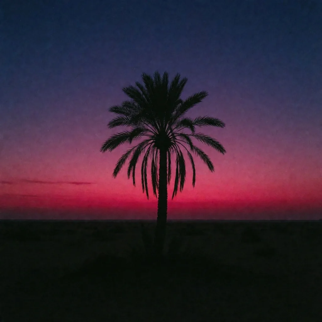
Scattered across the vast western desert are pockets of green that seem to appear out of nowhere. These oases are fed by ancient underground aquifers, creating micro-habitats where date palms and fruit trees thrive. The communities in these areas have developed unique architectural styles using local mud-brick, designed to stay cool in the extreme desert heat.
Visiting these remote areas offers a perspective on human resilience and the ingenuity required to live in an arid environment.
The High Mountain Interior
In the southern part of the eastern peninsula, the terrain rises into high granite peaks that offer a completely different climate and ecology. Snow is not uncommon in the winter months at these higher elevations, providing a surprising contrast to the popular image of the country.
The deep valleys between these mountains are home to resilient plant life and nomadic traditions. The clarity of the night sky in this region makes it one of the best places for astronomical observation.
The Delta Region
Where the river splits before meeting the sea, a vast triangular plain of incredibly fertile land forms the heart of the country's agricultural output. This region is a maze of small canals, bustling market towns, and endless fields of cotton, rice, and wheat.
The pace of life here is fast and industrious, reflecting the high population density. For a traveller into Egypt, the Delta represents the modern, working engine of the nation, far removed from the typical trails.
Desert Plateaus and Canyons
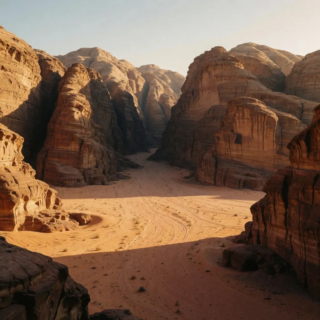
Beyond the immediate valley, the landscape opens up into vast limestone and sandstone plateaus. Erosion has carved deep canyons and strange rock formations into these areas, creating a surreal, moon-like atmosphere.
These regions are best explored with experienced local guides who understand the shifting sands and the hidden water sources. The play of light and shadow on the multicolored rocks at sunset is a primary draw for photographers and nature lovers.
The Southern River Expanses
In the far south, the river widens significantly, creating large bodies of water surrounded by golden sandstone hills. This area is known for its intense heat and its dramatic, open vistas. The pace of life slows down here, matching the slow flow of the deep water.
The relationship between the desert and the water is most evident in this region, where the sand dunes often run directly into the river's edge, creating a natural boundary that defines the landscape.
Significantly wider than northern stretches
Intense — prepare for extreme temperatures
Sand meets water directly at the bank
What Each Region Asks of You
These travel guides describe landscape and atmosphere. The practical question is simpler: what does each zone demand from your body and your bag? Use this comparison to decide what to prepare before you go.
Humidity and salt air
Expect dampness on skin and gear. Lightweight, breathable layers dry fast. Metal items may corrode if left exposed overnight.
Stable, temperate, insect-prone
Mild days and cool evenings near the water. Standing canals mean mosquitoes — long sleeves at dusk help more than repellent alone.
Extreme dryness, wide temperature swings
Days can exceed 45°C; nights drop sharply. Carry more water than you think you need. Lip balm and skin coverage are not optional.
Altitude and cold
Winter nights can drop below freezing. Pack a warm layer even in summer. The thin air at elevation means sunburn risk is higher despite the cool temperature.
Remote and self-reliant
Supplies may be limited. Fill water containers at every opportunity. Shade structures are sparse between settlements — plan movement around rest points.
Prepare for What You Will Meet
Each region demands different gear and different awareness. Our packing and safety guides break down what to carry and what to watch for, zone by zone.